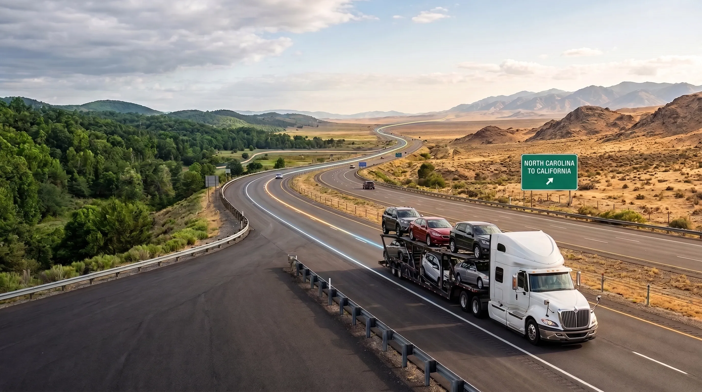
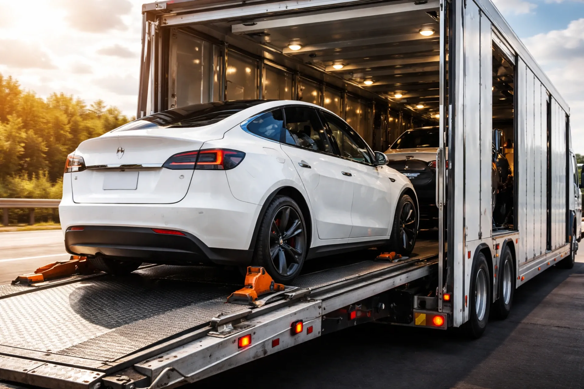
East Coast car shipping generally costs less per mile than West Coast routes because the lanes are shorter, the cities are closer together, and carrier density is higher. A 500-mile East Coast run may cost $1.60 per mile, while a comparable West Coast run in sparser territory can exceed $2.00 per mile.
This East Coast vs. West Coast car shipping guide breaks down real 2026 rates for the busiest lanes on each coast, why the per-mile gap exists, and which coast-to-coast routes actually cost the least.
Comparing your specific route against these lane figures takes just a few minutes. Get your free, price-locked quote today and see exactly how your coastal route prices out.
Why Is East Coast vs. West Coast Car Shipping Cheaper Per Mile?
East Coast shipping is cheaper per mile because major cities sit closer together and carriers run the same corridors constantly, filling trailers more efficiently than they can on longer, sparser West Coast routes. Density, not distance alone, drives the per-mile gap.
A few reasons this holds up consistently:
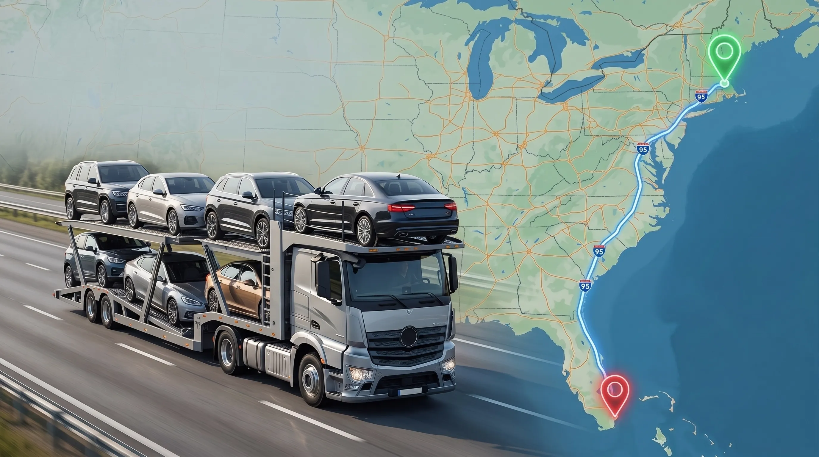
The I-95 corridor runs through nearly every major East Coast city, giving carriers a steady stream of pickups and drop-offs along one route.
West Coast metro areas are spread further apart, so carriers sometimes drive longer stretches between loads.
Higher competition among carriers on dense East Coast lanes keeps per-mile pricing more competitive.
The East Coast vs. West Coast car shipping cost gap shows up most clearly on shorter regional runs, where fixed costs matter more relative to total distance.
Anyone tracking figures for East Coast vs. West Coast car shipping cost 2026 will find this same pattern holding steady, since it reflects geography and route density rather than anything tied to a specific year.
What Do the Busiest East Coast Lanes Cost?
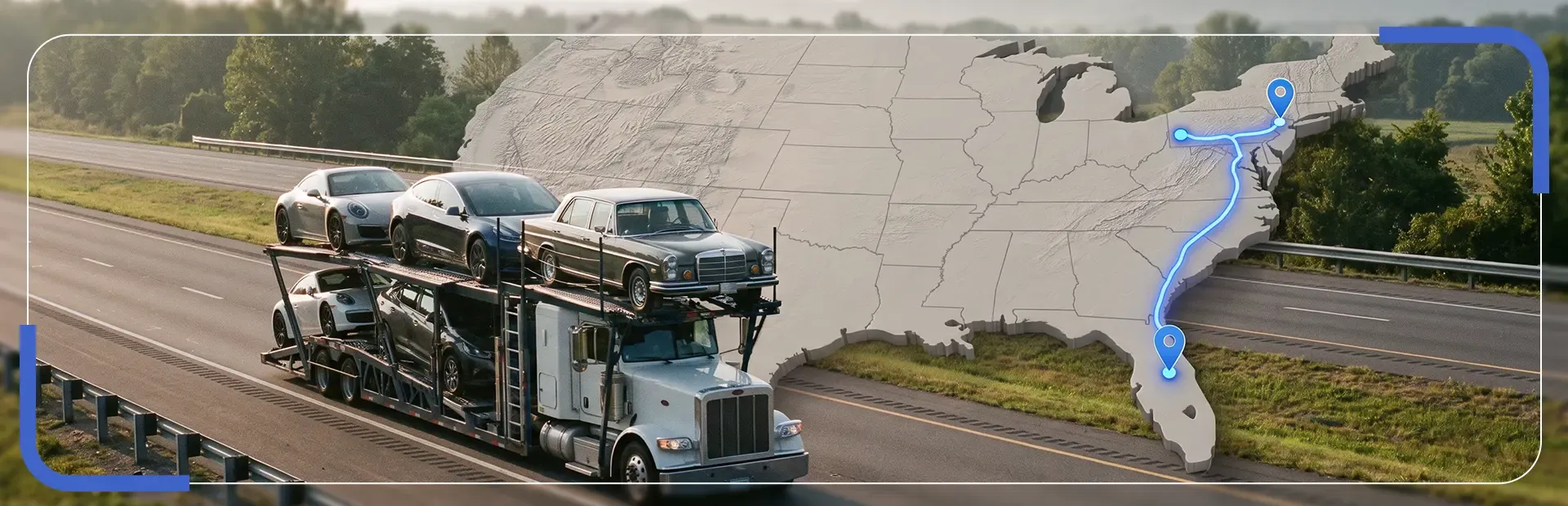
The busiest East Coast lanes typically run $0.90 to $1.60 per mile for a standard sedan on open transport, with shorter routes trending toward the higher end of that range. Density keeps these lanes competitively priced compared to similarly sized West Coast routes.
Route | Distance | Estimated Cost |
New York, NY to Miami, FL | 1,280 miles | $1,100-$1,950 |
Boston, MA to Atlanta, GA | 1,100 miles | $950-$1,500 |
Philadelphia, PA to Orlando, FL | 1,000 miles | $900-$1,400 |
Washington, DC to Charlotte, NC | 400 miles | $550-$850 |
The East Coast vs. West Coast car shipping price on these routes reflects steady, high-volume carrier traffic rather than seasonal spikes alone.
East Coast vs. West Coast car shipping rates along the I-95 corridor specifically tend to run lower than routes just a state or two inland, since carriers concentrate their coverage along this exact highway.
What Do West Coast Routes Cost?
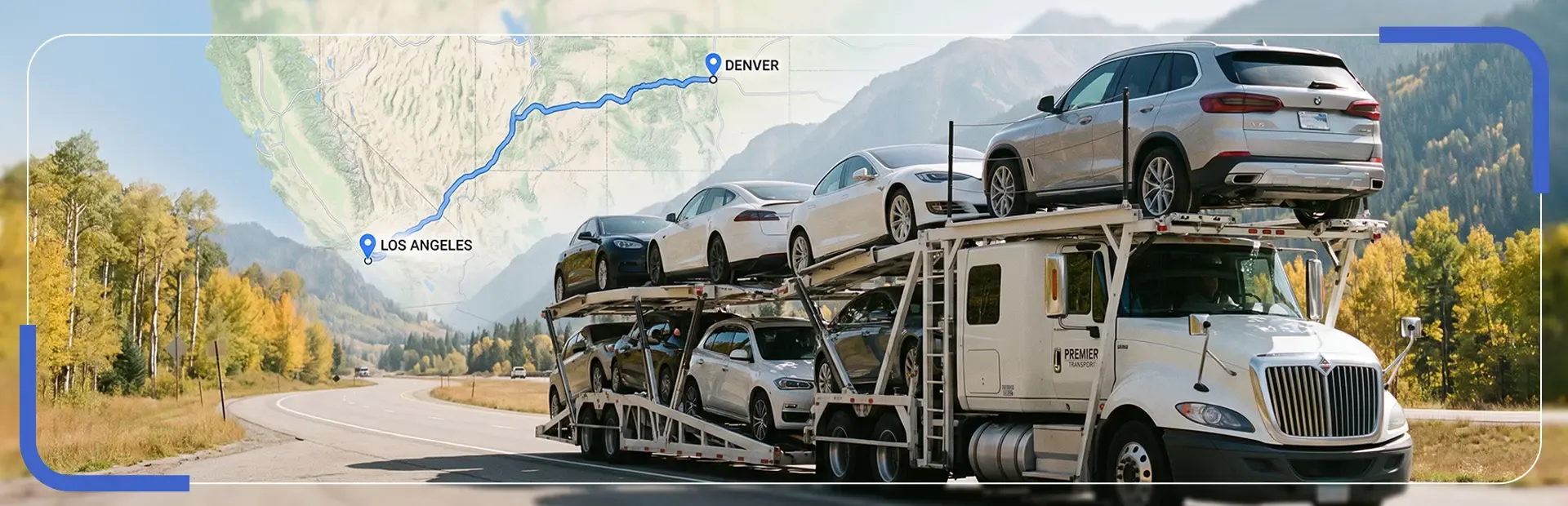
West Coast routes typically run $1.10 to $2.00 per mile for a standard sedan on open transport, running higher than comparable East Coast distances due to lower carrier density in many stretches. Coastal I-5 corridor routes price more competitively than routes reaching into sparser inland areas.
Route | Distance | Estimated Cost |
Los Angeles, CA to Seattle, WA | 1,135 miles | $1,000-$1,600 |
San Diego, CA to Portland, OR | 1,260 miles | $1,050-$1,700 |
Los Angeles, CA to Phoenix, AZ | 370 miles | $600-$950 |
San Francisco, CA to Las Vegas, NV | 570 miles | $700-$1,150 |
If you're searching for an East Coast vs. West Coast car shipping near me option, assuming local pricing on the West Coast varies dramatically by city, know that proximity to the I-5 corridor matters more than which specific metro you're near.
Real differences exist among East Coast vs. West Coast car shipping companies in how competitively they price these routes.
An East Coast vs. West Coast car shipping company running dedicated West Coast lanes typically quotes lower than one treating it as a secondary market.
How Does Carrier Density Affect Price?
Carrier density affects price by determining how easily a broker can fill every slot on a trailer along a given route, and a fuller trailer means a lower cost per vehicle. Low-density routes force carriers to accept fewer paying vehicles per trip, and that cost gets passed on.
A genuine East Coast vs. West Coast car shipping service will explain this density factor directly rather than presenting a flat, unexplained number. This is closely related to the "deadheading" problem carriers try to avoid, driving an empty or partially loaded truck back after a delivery, which is why rates can shift depending on which direction demand happens to be flowing that week.
So how much East Coast vs. West Coast car shipping actually costs on any given route often has more to do with current carrier positioning than the distance itself, which is why identical mileage in each direction can price differently on the same day.
Which Coast-to-Coast Routes Are Cheapest?
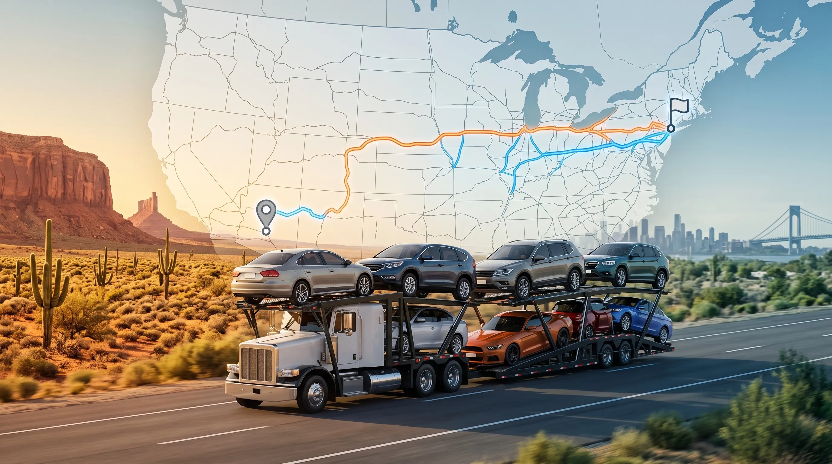
The cheapest coast-to-coast routes run through major population corridors with heavy carrier competition, typically pricing $1,100 to $1,650 for a standard sedan on open transport. Routes through sparser terrain or requiring mountain-pass crossings tend to run higher.
Four representative coast-to-coast lanes:
New York to Los Angeles: the most competitive cross-country lane, typically $1,200 to $1,650.
Miami to San Diego: a long southern route avoiding harsh winter weather, typically $1,150 to $1,550.
Boston to Seattle: one of the longest domestic hauls, often crossing northern mountain passes, typically $1,400 to $1,850.
Atlanta to San Francisco: a common business relocation route, typically $1,100 to $1,500.
Request an East Coast vs. West Coast car shipping quote for your specific city pair rather than relying on a generic coast-to-coast average, since even a few hundred miles of difference in pickup location can shift the number meaningfully.
Comparing East Coast vs. West Coast car shipping quotes from two or three providers on the same route is worth doing before booking.
An online East Coast vs. West Coast car shipping calculator can offer a rough starting estimate, though a live quote will always reflect current carrier positioning more accurately.
What Shippers Want Clarified
Coastal pricing questions come up often, so here are direct answers to the ones we hear most.
Is it cheaper to ship a car on the East Coast?
Generally yes, per mile, due to higher carrier density and shorter distances between major cities. This holds for any East Coast vs. West Coast car shipping 2026 route just as it has in prior years.
Why do West Coast routes cost more?
Lower carrier density in many stretches means fewer vehicles per trailer load, and that added cost per vehicle gets passed on to the customer.
What is the cheapest cross-country route?
Routes through major population corridors with heavy competition, like New York to Los Angeles, tend to price lowest, typically $1,200 to $1,650. A few practical East Coast vs. West Coast car shipping tips help narrow this down further for your specific cities.
Does city size affect shipping price?
Yes. Major metro areas see more carrier traffic and competitive pricing, while smaller cities off main corridors often carry a modest premium. Reading East Coast vs. West Coast car shipping reviews from customers who shipped a similar route can confirm whether this pattern holds for a specific broker.
Are rural pickups more expensive?
Yes, on either coast. A carrier detouring off a main corridor to reach a rural address adds time and fuel that isn't recovered by loading another vehicle. Asking how long East Coast vs. West Coast car shipping quotes stay locked once issued is worth doing before you book.
Compare Your Specific Coastal Route
A cheap East Coast vs. West Coast car shipping quote that ignores route density is rarely the outcome you actually want once a driver is actually assigned.
The best East Coast vs. West Coast car shipping approach compares your exact route against the lane data above, rather than assuming one coast is always cheaper across the board.
Most of the confusion shippers run into comes from treating "East Coast" and "West Coast" as single, uniform prices rather than a range that shifts by specific city pair, corridor, and carrier density. The lane tables earlier in this guide are a far more reliable starting point than any single national average, since they reflect the actual density and demand patterns on your specific route. Get your free, price-locked quote today and see exactly how your specific coastal route prices out.